






Understand the risks affecting your operations in ice-covered waters
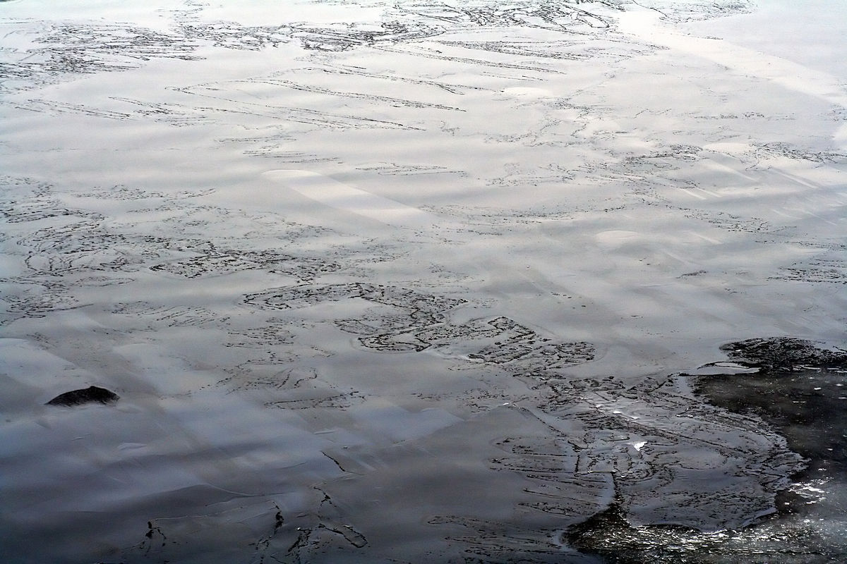
Sea ice continuously changes in location, type, thickness and movement throughout the season. Our specially trained ice charting specialists interpret satellite imagery in combination with expected weather conditions. This gives you insight not only into current and forecast ice conditions, but also into what these developments mean for your operation.
- Daily insight into current and forecast ice conditions
- Insight into ice type, mobility, thickness and drift
- Specialist ice and meteorological expertise
- Advice tailored to your operating area and operation

Better results, lower costs
Operating in ice-covered waters comes with challenges that can drive up costs significantly. Being unable to work, or having only limited time to do so, can have a major impact. Our Ice Charting expertise helps improve planning, reduce downtime and lower costs.
“Our ice analyses help optimise the transport of personnel, food and equipment to the platform based on local conditions. The client knows exactly which mode of transport to use on which day.”
Rob Koenders
Senior Ice Charting Specialist at Infoplaza
How we support operations in ice-covered areas
- Sea ice analysis and reporting
Depending on the operating area and operation, our specialists map current and forecast ice conditions. This includes the boundaries of different ice types and the associated metocean conditions.
- Annotated QuickLooks
Annotated satellite imagery provides insight into ice type, ice thickness, mobility and drift, and makes changes within the area of interest easy to identify.
- Meteorological and operational interpretation
Ice development is strongly influenced by the weather. Our meteorologists and ice charting specialists combine both disciplines to assess changes and explain what they mean for your operation.
- Worldwide support
Infoplaza supports marine operations in ice-covered areas worldwide, including the Caspian Sea and Baltic Sea regions. Our services are tailored to the operating area and specific operational requirements.



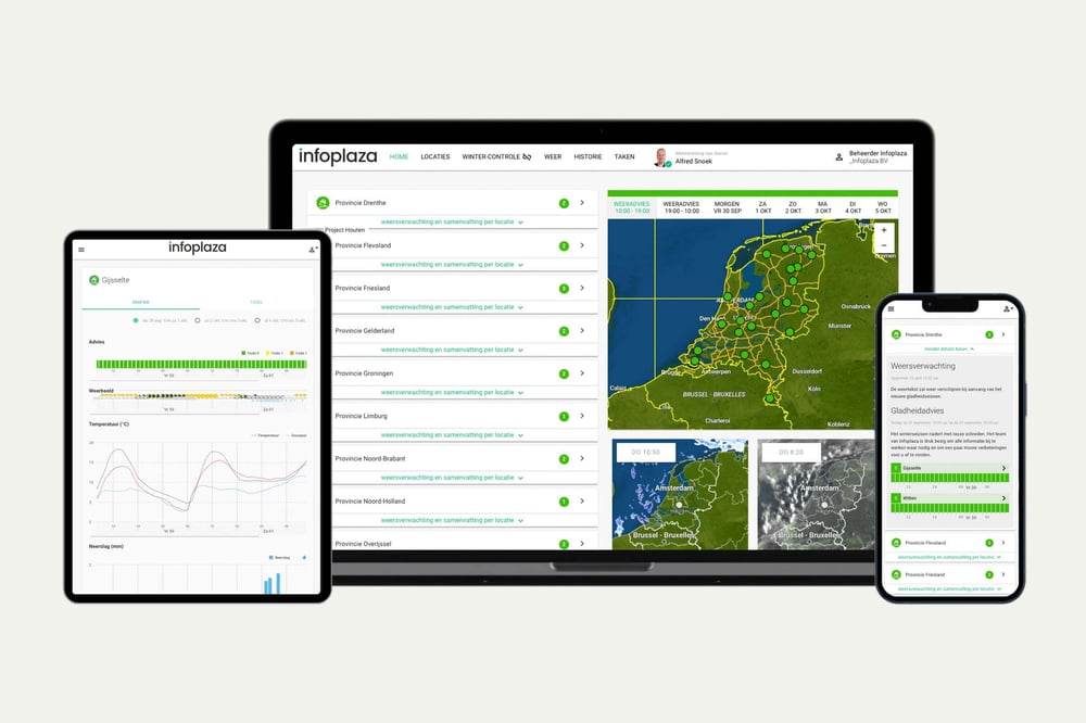
Dashboard: direct inzicht
Stel zelf locaties en drempelwaarden in voor jouw operaties. Zie in één oogopslag of omstandigheden veilig zijn om te werken.Ideaal voor teams die:
- Snel willen starten, zonder technische integratie
- Zelf grenswaarden willen beheren per locatie
Wat je krijgt:
- Zelf in te richten locaties en meetpunten
- Realtime waarschuwingen bij grenswaarden
- Overzichtelijke visualisatie van parameters

API: onze data, in jouw tooling
Integreer onze marine weerdata rechtstreeks in je eigen systemen. Behoud je workflows en voeg betrouwbare weerdata toe waar nodig.
Ideaal voor teams die:
- Weerdata willen combineren met andere databronnen
- Eigen dashboards of automatiseringen bouwen
Wat je krijgt:
- Directe toegang tot relevante databronnen
- Flexibele integratie in bestaande tools
- Documentatie en ondersteuning bij implementatie
Wil je grip krijgen op de ijscondities in jouw werkgebied?
Start onze gratis demo en ontdek hoe onze ijs- en weerexpertise jouw operatie in ijsgebieden ondersteunt.
Andere oplossingen voor jouw maritieme operatie
Naast Ice Charting bieden we meer tools die aansluiten op de dagelijkse praktijk van offshore en nearshore teams:
-
Marine Weather Dashboard:
Real-time data voor offshore operaties
-
Wave Climate:
Statistische data voor langetermijnplanning van toekomstige operaties
-
i-nav:
slimme route-optimalisatie