







Lower fuel consumption and emissions, with control over your ETA
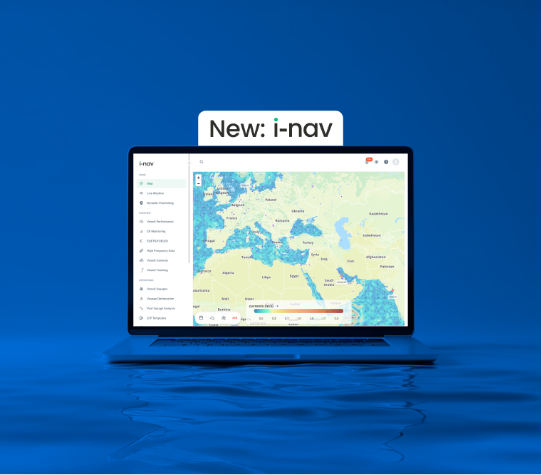
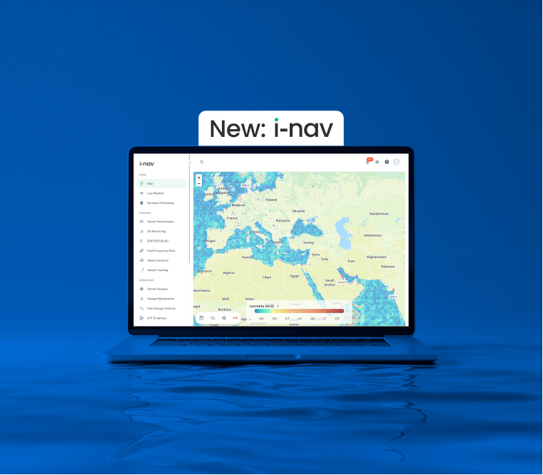
i-nav helps you plan the optimal route for every voyage based on weather conditions, vessel performance and your planned arrival time, reducing fuel consumption and emissions without compromising safety or your schedule.
Every tonne of fuel counts
Fuel is not only one of the largest operating costs; it also directly determines your emissions and how you perform under increasingly strict reporting and compliance rules. With EU ETS and FuelEU Maritime, efficient sailing now has a direct financial impact as well.
i-nav calculates hundreds of thousands of possible routes and balances fuel consumption, CO₂ emissions, just-in-time arrival (JiTA), weather conditions and safety. It also brings voyage data and reporting together for CII, MRV, EU ETS and FuelEU.
- Up to 10% lower fuel consumption
- Full CII, MRV and EU ETS compliance
- Fuel, CO₂, JiTA, TCE and safety in a single route calculation
What can you do with i-nav?
From route planning to reporting, i-nav brings together the information and tools you need for every voyage in one environment.
- Voyage optimisation
Compare possible routes based on factors including fuel consumption, safety and arrival time, using weather forecasts and dynamic vessel models.
- Vessel reporting
Record relevant information throughout the voyage with event-driven reporting and generate a post-voyage analysis report at the end of the voyage.
- Compliance & performance
Support reporting and monitoring for CII, MRV and EU ETS, while the Charter Party module tracks performance against your charter party agreements.
Make well-informed decisions
with i-nav
Up to 10% lower fuel consumption
i-nav's T.VOS routing engine evaluates around 300,000 possible routes for each voyage, balancing fuel consumption, safety, arrival time and total costs in a single calculation.
Full CII, MRV and FuelEU compliance
Semi-automated reporting based on operational events replaces manual reports, including Charter Party functionality to support contractual compliance.
Built on scientific expertise
i-nav was developed in collaboration with Theyr, The Alan Turing Institute and the University of Southampton, and was the first commercial multi-objective routing engine in the maritime sector
Reliable weather data at its core
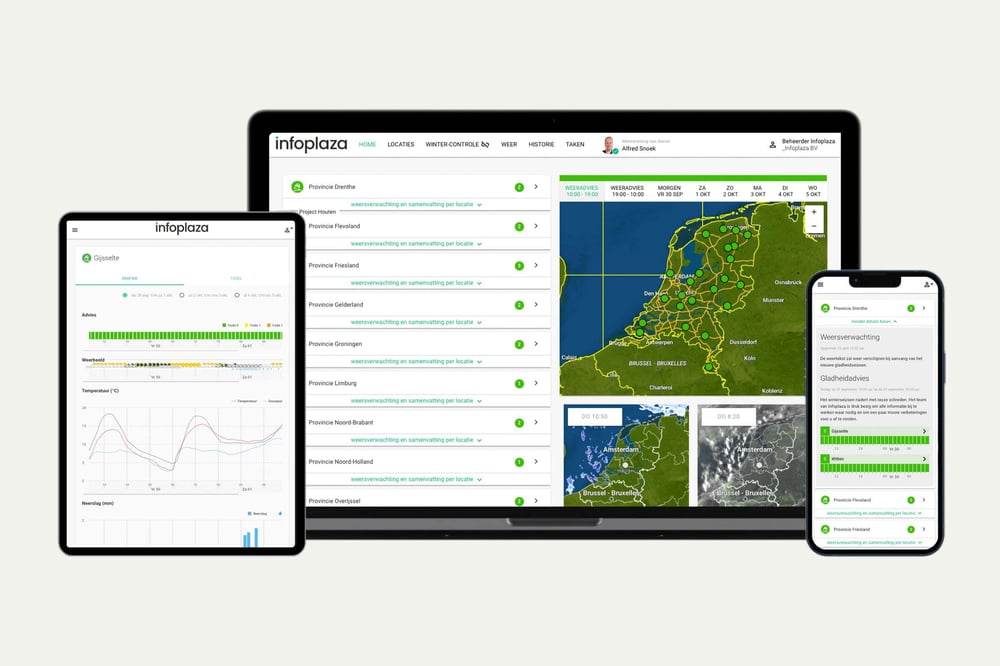
Every route is calculated on Infoplaza weather data, backed by more than 15 years of expertise and updated four times a day across more than 20 parameters, providing an accurate foundation for every calculated route.
Twee manieren om Infoplaza-weerdata te gebruiken in jouw operatie
Of je nu zelf de controle wilt houden over locaties en drempelwaarden, of onze data rechtstreeks wilt integreren in je eigen systemen: wij bieden twee oplossingen die aansluiten op hoe jouw organisatie werkt.
Platform: directe route-optimalisatie
Voer je vaarplan in en laat i-nav's AI-engine de optimale route berekenen op basis van brandstofverbruik, veiligheid, aankomsttijd en compliance. Automatische rapportage vervangt handmatige reports.Ideaal voor teams die:
- Snel willen starten, zonder technische integratie
- Grip willen op brandstofkosten en CII/EU ETS-compliance
Wat je krijgt:
- AI-gestuurde routeadviezen per reis
- Automatische CII, MRV en EU ETS-rapportages
- Inzicht in Charter Party-naleving

API: onze data, in jouw tooling
Integreer i-nav's routing- en rapportagedata in bestaande vlootmanagementsystemen. Behoud je workflows en voeg betrouwbare weerdata toe waar nodig.
Ideaal voor teams die:
- Weerdata willen combineren met andere databronnen
- Eigen dashboards of automatiseringen bouwen
Wat je krijgt:
- Directe toegang tot relevante databronnen
- Flexibele integratie in bestaande tools
- Documentatie en ondersteuning bij implementatie
Ontwikkeld met wetenschappelijke expertise
i-nav's T.VOS-engine is gebouwd door Theyr, in samenwerking met The Alan Turing Institute en de Universiteit van Southampton.
DNV compliant
Nederlandse WindEnergie Associatie
Britse energie netwerk NOF
Andere oplossingen voor jouw maritieme operatie
Naast i-nav bieden we meer tools die aansluiten op de dagelijkse praktijk van offshore en nearshore teams:
-
Marine Weather Dashboard:
Real-time data voor offshore operaties -
Ice Charting:
Wereldwijde ijsverwachtingen -
Wave Climate:
Statistische data voor langetermijnplanning van toekomstige operaties