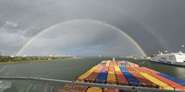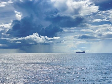

High pressure dominates the North Sea through most of the period, providing favourable conditions for offshore operations. A trough briefly affects the northern sectors later this week, but disruption is expected to remain limited. Overall, the broadest workable windows are found across the southern and central North Sea.
Weather impact on North Sea workability
-
Timing: Broad workable windows are expected from Wednesday through Sunday, with only a temporary reduction in the northern North Sea from Thursday into Friday.
-
Operations: Conditions generally support crew transfer, offshore construction, subsea work, maintenance campaigns and towage, while more weather-sensitive activities in northern sectors may face brief interruptions.
-
Regions: The southern and central North Sea offer the highest planning confidence. Viking, Utsire and Forties may experience a short-lived reduction in workability as the trough passes.
In short: most offshore operations can be planned with confidence this week, while northern sectors should monitor conditions closely later this week.
Operational risk
Operational risk remains low across much of the North Sea. The main uncertainty is associated with a weak trough crossing the northern parts from Thursday into Friday, bringing a temporary increase in wind speeds and sea state. Downtime is expected to be limited and mainly confined to exposed northern offshore areas.
Weather situation
North Sea
A high-pressure system dominates the North Sea through much of the week, keeping the pressure gradient relatively weak. Winds remain mostly between 10 and 20 knots, with slight to moderate seas. These conditions provide favourable workability for a wide range of offshore activities. From Thursday into Friday, a trough moves across the northern North Sea. The pressure gradient temporarily tightens, with winds freshening to around 20–25 knots across the northern sectors. Sea states build accordingly (around 2m), briefly reducing workable windows for weather-sensitive offshore operations. Towards the weekend, the trough moves away and high pressure re-establishes. Winds ease and seas gradually subside, allowing workable windows to expand across the northern sectors. By Saturday and Sunday, conditions are expected to be favourable across most of the North Sea, supporting offshore operations with relatively high planning confidence.
Baltic Sea
Operational risk remains low through the first part of the period as a weak pressure gradient supports relatively calm conditions. From Saturday onwards, strengthening southwesterly winds and increasing sea states may shorten workable windows, particularly in exposed western and northern sectors. Schedule flexibility is advised for weather-sensitive offshore activities later in the weekend.
Tropical cyclone activity
Two tropical cyclones are currently active over the eastern Pacific. Major hurricane Genevieve over the eastern Pacific SW of Mexico, which rapidly intensified into the first Category 5 hurricane of the 2026 season, is moving in a west-northwesterly direction while gradually weakening the coming days. Although it is expected to remain offshore of Mexico, it is generating very large swells and hazardous conditions for shipping, offshore operations and coastal activities along the eastern Pacific.
Tropical storm Fausto has weakened significantly from its peak intensity and is now moving west-northwest across the central Pacific, passing north of Hawaii. The strongest winds remain well away from land, but the storm is generating a large area of long-period swell that is affecting Hawaiian waters and exposed Pacific coastlines.
Typhoon Dolphin, north of the Marshall Islands, has undergone rapid intensification and is moving generally west to west-northwest. It is expected to strengthen further over the coming days while remaining over open water.
-1.png?width=940&height=467&name=image%20(3)-1.png) Tropical cyclone activity over the eastern Pacific. Source: I'm Weather
Tropical cyclone activity over the eastern Pacific. Source: I'm Weather
Existing customers can monitor the latest operational windows and regional developments in the Infoplaza dashboard. Planning a marine operation without access to our forecasts? Contact Infoplaza to explore how tailored weather intelligence can support safer and more efficient decision-making.