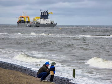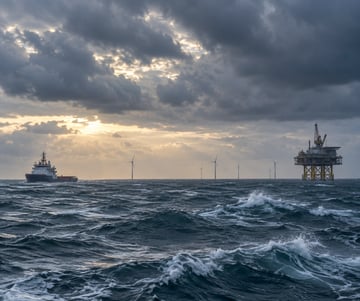

Warm air has rushed northwards across the North Sea during the first half of this week, bringing relatively calm conditions and rather workable weather at first. However, an active cold front is expected to pass the North Sea later with increasing winds, higher waves and even a slight thunderstorm risk ahead.
Weather impact on North Sea workability
-
Timing: Ahead of aforementioned cold front workable windows will occur over the larger part of the North Sea on Wednesday. However, in the far north (and the western sectors later on) winds and waves will increase already. On Thursday this will also happen elsewhere with largest coverage of worsening conditions over the northern half of the North Sea. Things will calm down rather quickly in its wake on Friday and Saturday.
- Operational impacts: dependent on your specific operational limits weather-sensitive operations will face (brief) interruptions, especially in the course of Wednesday and on Thursday during the passage of the cold front and associated low pressure system. Also, keep in mind the local thunderstorm risk well ahead of the front.
-
Regionalization: the wind and wave field, associated with the incoming colder air, first hits the northern and western North Sea in the course of Wednesday, spreading out on Thursday. Worst conditions are expected over the northern half of the area. On Friday and Saturday a ridge provides a new round of workable weather.
Synoptic situation
North Sea
As discussed a frontal trough will cause temporal reduced workability from late Wednesday well into Thursday as the parenting low shifts east across the N North Sea and into southern Scandinavia. Winds might regionally peak at 25-35kt, 6 or 7 Bft, locally accompanied by waves up to 3.0-3.5m; mainly over the northern half of the North Sea. In the wake of the cold front a new ridge comes in from the W on Friday, expected to gradually lose influence over the North Sea afterwards as it moves into E Europe on Sunday. By then, a frontal trough, associated with an Atlantic low, sweeps across the UK and into the North Sea causing a new wind and wave peak.
Irish Sea and waters surrounding Scotland
The same area of low pressure that causes the worsening weather over the North Sea, is also responsible for a quite distinct wind and wave peak for the waters surrounding the British Isles on Wednesday. Especially for the open waters along the west coast of Scotland winds might shortly peak up to 35 kts, 7 or 8 Bft, with Hs regionally up to 3.5-4.0m. As the low moves into southern Scandinavia on Thursday seas will calm down by then.
Western Pacific
Typhoon Dolphin travels west across the western Pacific coming days. The system has been very active over the last week and has proven to be very persistent in producing widespread devastating winds and waves. Dolphin is expected to remain very active as it crosses the Ryukyu Islands on Friday, maintaining most of its power whilst crossing the East China Sea on Saturday, before making landfall over eastern China on Sunday. Before then sustained winds of 80-90kt and gusts well over 100kt are expected in a rather broad band surrounding the eye. For everyone in its path it is best if you prepare your safe escape well in advance.
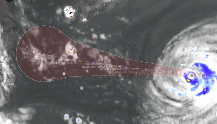 Typhoon Dolphin moving W across the Pacific, heading for the Ryukyu Islands. Source: I'mweather
Existing customers can monitor the latest operational windows and regional developments in the Infoplaza dashboard. Planning a marine operation without access to our forecasts? Contact Infoplaza to explore how tailored weather intelligence can support safer and more efficient decision-making.