



Weather impact on North Sea workability
-
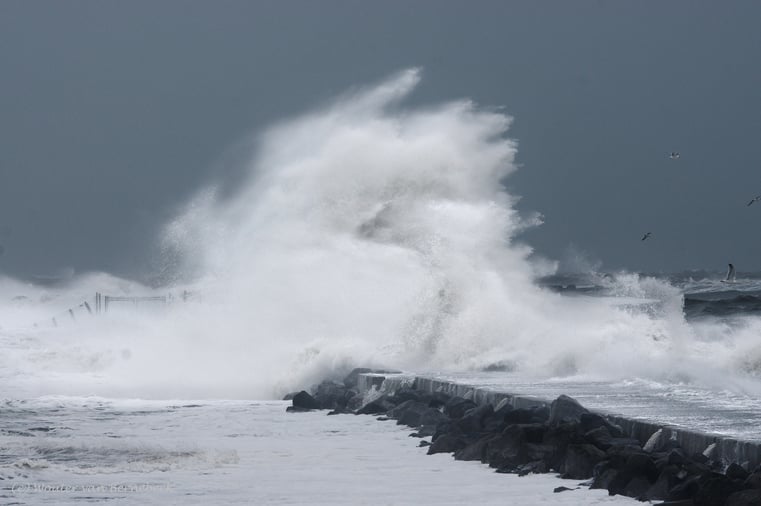
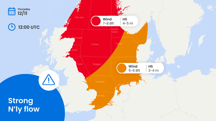
Timing: this week’s most prominent wind and wave peak is expected on Wednesday. To a lesser extent, there is a renewed risk of severe weather over the southernmost North Sea on Thursday due to strong winds and high waves. This volatile setting, timing, and location might change on rather short notice for the areas involved, so please check your latest forecast for more details.
-
Operational impacts: dependening on your specific operational limits, several maritime operations will face significant interruptions due to high waves and strong winds. In between the aforementioned lows, several workable windows are expected, the longest ones obviously for areas which remain at a fair distance from the lows. Also, keep in mind that with some showers over the southern North Sea a slight thunderstorm risk will be involved on Wednesday and Thursday.
-
Regionalization: as mentioned previously, several wind and wave peaks are expected this week; the most prominent one (early) on Wednesday over the southern North Sea and parts of the German Bight and surrounding areas. A next one might occur over the southernmost North Sea and the Channel on Thursday. Given the uncertain track and development of the parenting lows, please consult your latest forecast for all the details.
Synoptic situation
North Sea
A first low crosses the southern North Sea with (strong) gale force winds (8 - 9 Bft) surrounding its center on Wednesday. Hs possibly peaks at 3.5-4.5 m, especially on the southern flank of the low. In its wake, a ridge builds across the North Sea from the north, followed by a new low moving across the Channel and possibly into the southernmost North Sea on Thursday. On Friday, the emphasis of low pressure shifts into Eastern Europe and parts of Scandinavia. On its western flank, a ridge strengthens over the UK by then, slowly shifting eastward across the North Sea during the weekend inducing significantly calmer conditions.
Atlantic
The tropical regions of the Atlantic remain remarkably calm once again, which is typical during a strong El Niño. A (sub)tropical disturbance might develop later in the week though, with a low risk of affecting the Azores on Friday.
Pacific
Typhoon Xavier is positioned far northeast of Samoa over the open waters of the Pacific; the system continues to shift WSW whilst gradually filling from Thursday onward. At its peak, associated winds are expected to reach 80-90 kt with gusts up to 110 kt and Hs easily reaching 10 m. Other than Xavier, tropical activity is expected to remain limited this week.
Bay of Bengal
Severe cyclonic storm Akvan over the Bay of Bengal slowly deepens in the coming days, expected to reach very severe cyclonic status in the course of Thursday before making landfall along the Andhra-Yanam coast later on Friday and in the night into Saturday. The system quickly decays afterwards. Winds surrounding the core are expected in the range of 55-65 kt with gusts around 75 kt just before landfall, accompanied by storm surges up to 4.0-5.0 m nearshore. Offshore, Hs peaks at 8.0-10 m, making Akvan a dangerous storm for all caught in the impact zone.
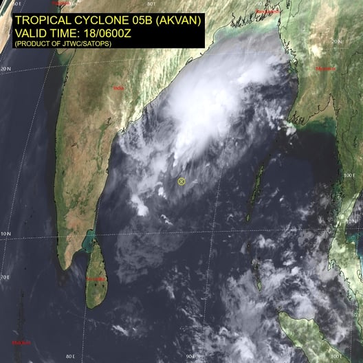
Tropical cyclone Akvan over the Bay of Bengal. Source: JTWC/SATOPS.
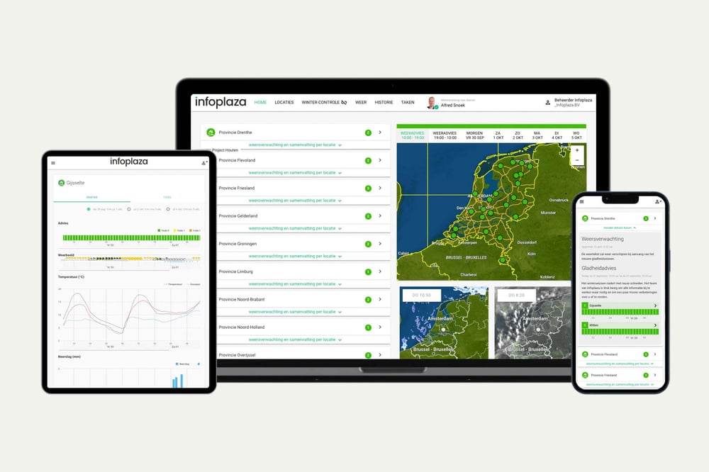
Existing customers can monitor the latest operational windows and regional developments in the Infoplaza dashboard. Planning a marine operation without access to our forecasts? Contact Infoplaza to explore how tailored weather intelligence can support safer and more efficient decision-making.

 Bram van Kester
 Marsel Blok

