
North Sea
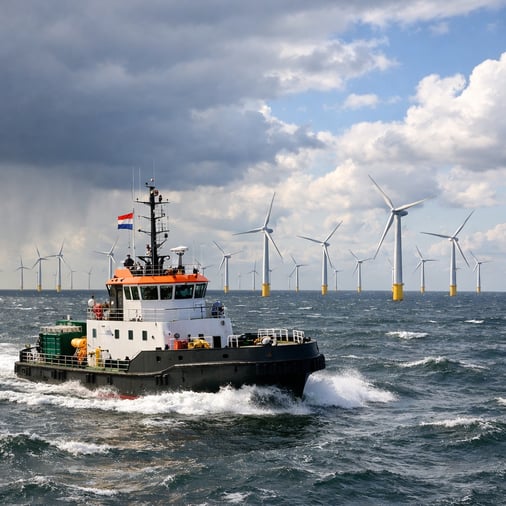
Following an unsettled start to the week, a ridge of high pressure extends across the North Sea, allowing the pressure gradient to ease. From Wednesday onwards, winds gradually decrease and sea conditions improve across much of the basin. This creates opportunities for offshore construction, maintenance and crew transfer, particularly in the southern and central North Sea.
However, the ridge is occasionally interrupted by frontal troughs associated with low-pressure systems passing further north. Their main impact is expected across the northern North Sea, including Viking and Utsire, where winds may temporarily freshen and seas remain more unsettled.
These disturbances may result in shorter workable windows and some downtime for weather-sensitive operations. Further south, conditions are generally more favourable, supporting greater planning confidence. The timing of passing fronts remains important, especially for operations requiring several consecutive days of suitable conditions.
North Atlantic
A series of deep low-pressure systems dominates the North Atlantic throughout the second half of the week. Associated frontal troughs and a strong pressure gradient bring widespread strong winds and high waves, particularly across the northern Atlantic between Greenland, Iceland and waters west of Scotland.
Significant wave heights may reach 5 to 8 metres in exposed areas, with locally higher seas possible near the strongest systems. These conditions considerably restrict workable windows for offshore activities and increase the likelihood of prolonged downtime.
For vessel operators, the main concern is the combination of strong winds and persistent swell, which may affect routing and arrival schedules even outside the immediate influence of the lows. Greater route flexibility and sufficient safety margins remain essential, while the development and movement of individual systems require close monitoring.
Conclusion
The operational contrast is clear. The North Sea offers improving workability and several opportunities for offshore execution, although passing fronts may briefly interrupt activities in northern sectors. Across the North Atlantic, deep depressions maintain a much higher risk of disruption, with limited workable windows and continued pressure on marine logistics.
Forecast confidence note: This is an editorial outlook for Wednesday 28 October to Sunday 1 November 2026. The broader pressure pattern is supported by current marine guidance, but the precise duration of the North Sea ridge and individual operational windows still require verification against updated forecasts before operational use.
 Marsel Blok

 Daan Koop