A ridge of high pressure builds over the UK and the western parts of the North Sea over the coming days, resulting in decreasing wind speed and lower waves over large parts of the North Sea. Only near the coasts of Norway and Denmark will low pressure persist with unfavorable conditions. Towards the weekend a deep low is expected to track east over the central and southern North Sea, accompanied by gale force winds and significant wave height up to 5 meters. Find out in this week’s weather briefing what the consequences might be for marine operations.
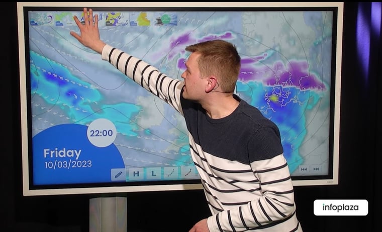
Read on for a video briefing at the end of this article.
Synoptic situation
Today and Wednesday a ridge of high pressure will build over the UK, extending over the central and southern North Sea on Thursday. At the same time pressure remains low near SW Norway. Over large parts of the North Sea the pressure gradient decreases with less wind and lower waves, especially on Thursday when quite good conditions will develop that would be considered favourable for most marine operations.
Towards the weekend the situation is expected to change. On Friday morning a low is expected over Ireland, tracking east over England and the central and southern North Sea later that day, arriving over Denmark by Saturday. The precise track and development of the low is still a little uncertain, but the low may follow a more southerly track over the southern North Sea or a more northerly track over the central North Sea. Behind the low a strong northerly flow will develop over the area, again with wintry showers, gale force winds and rough to very rough seas. There is no sign of spring this week.
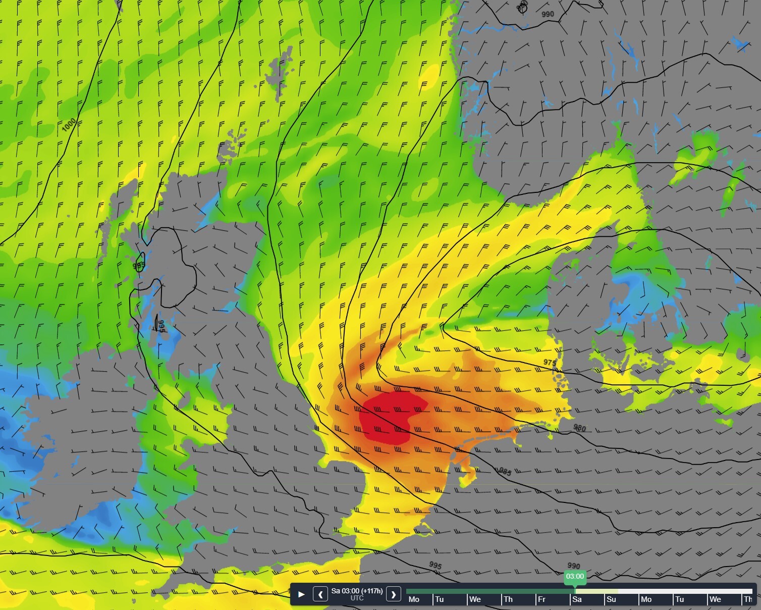 Figure 1: Strong winds over the southern North Sea behind the low tracking away to the east in the night to Saturday.
Wind and waves in the North Sea this week
In between low pressure over southern Scandinavia and a ridge of high pressure over Ireland a northerly flow persists over the area. The wind speed decreases gradually, from mostly 5-6 Bft at first to 2-3 Bft over large areas on Wednesday and Thursday. Over the northern North Sea and near Denmark the fresh to strong winds persist somewhat longer, by Thursday these areas also take advantage of the incoming ridge, with winds easing to mostly moderate.
Behind the ridge the wind turns to become SE’ly, veering to S to SW’ly directions later. On the approach of the low over the UK the wind speed increases, reaching gale force (8 Bft) in the southern parts of the southern North Sea over the course of Friday. On Saturday also other parts of the southern and central North Sea may experience gale force winds, then from W’ly to N’ly directions.
The significant wave height can be still up to 5 meters in the northern and eastern parts of the North Sea at first, but the decreasing wind will result in lower waves over the following days. On Wednesday and Thursday, significant wave heights of 1-2 meters are expected for the southern half of the North Sea. In the northern parts wave height remains over 3 meters until Thursday afternoon, these areas must wait until late Thursday for a moderate sea state with waves just over 2 meters.
By Friday the winds increase from the south, but thanks to the sheltering effect of England the wave height remains moderate at first. Only after the passage of the low, when the winds veer to NW to N, the long fetch over the North Sea results in rough seas again. Wave height may reach 4-5 meters, especially in German Bight and the southern North Sea, but other areas will experience rough, possibly very rough seas too.
Figure 2: Wind and pressure over the North Sea the coming week.
Conclusion
A ridge of high pressure will result in quite good conditions for most marine operations on Wednesday and Thursday, dependent on operational thresholds. As discussed, northern and eastern parts of the North Sea will have to wait somewhat longer, until Thursday afternoon. Towards the weekend the weather becomes unsettled again, with gales in the south.
Marine weather briefing
Every week we will post an updated weather briefing on the Infoplaza website and the Infoplaza Marine Weather Operations LinkedIn page. We will also share weather related articles and topics on offshore weather on these pages. We hope all our clients stay safe at sea this week. Please feel free to contact us at any time if you have any questions or remarks.