Synoptic overview
High- pressure covers Scandinavia and the Norwegian Sea, while low pressure can be found over southern Europe. In between, an easterly flow is established over the North Sea. The center of high pressure starts to shift west and will be positioned over the UK by the end of this week. By then, winds will become northerly over the majority of the North Sea. An Atlantic low-pressure area is approaching the UK and the Bay of Biscay over the coming weekend, pushing the high-pressure area back towards the North Sea and resulting in weak and variable winds.The sea temperature will vary between 10°C in the north and 16°C in the south. In combination with the relatively warm air, this may result in occasional low clouds in the northern part of the North Sea.
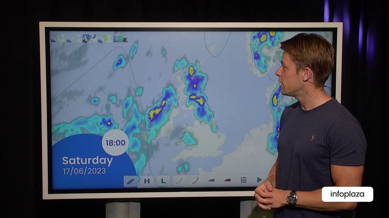
Video briefing at the end of this article
Wind and waves
The week has started with mainly easterly winds over the North Sea. Northeasterlies can be found in the southern part of the North Sea, and these winds might reach a forecasted strength of 5 Bft at the beginning of the week. As the high-pressure area shifts westward across the North Sea, the winds will weaken. When the high-pressure area is positioned over the UK later this week, the wind will start blowing from the north, especially in the eastern parts of the North Sea. At times, a strong northerly breeze can be expected along the southwestern coast of Norway (see Figure 2).In combination with the calm winds, the significant wave height will be around 1.0 meter or lower this week. It might increase to around 1.5 meters along the Norwegian coast due to somewhat stronger northerly winds towards the end of the week.
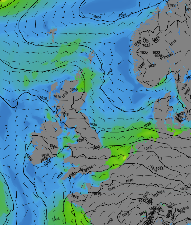 Figure 1: Isobars, wind speed and wind direction on Tuesday 18 UTC
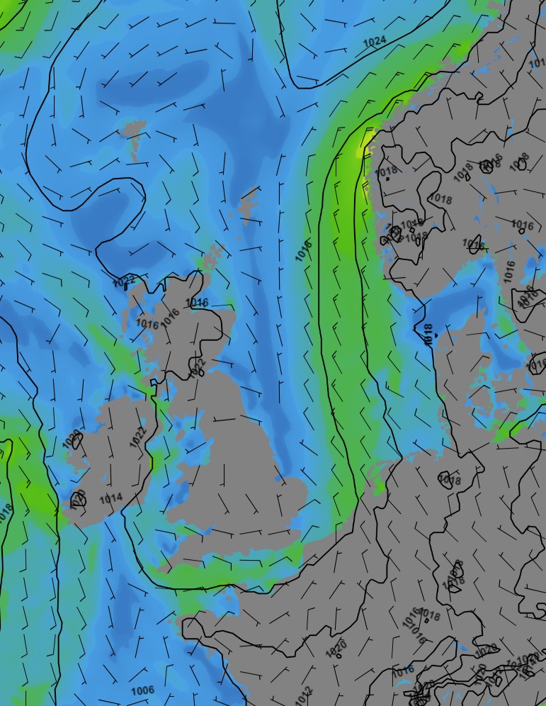 Figure 2: Isobars, wind speed and wind direction on Friday 12 UTC
Conclusion
As the wind and waves remain calm, workable conditions will persist. However, it is important to monitor the possible development of low clouds, as they may hinder helicopter flights. The combination of calm weather, lower sea temperatures, particularly in the north, and relatively warm air creates favorable conditions for the formation of these low clouds.
Weekly weather briefing
Every week we will post an updated weather briefing on the Infoplaza website and the Infoplaza Marine Weather Operations LinkedIn page. We will also share weather related articles and topics on offshore weather on these pages. We hope all our clients stay safe this week. Please feel free to contact us at any time if you have any questions or remarks.