
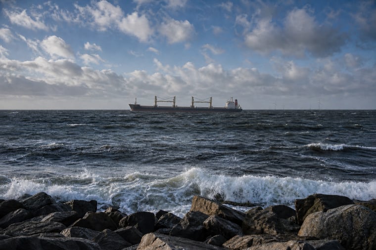
Workable conditions support offshore operations across the North Sea and Baltic Sea on Wednesday and Thursday. From Friday, a strengthening northerly flow brings higher winds and waves across the North Sea, significantly reducing workability during the weekend. The Baltic Sea also faces a shorter adverse period as a low-pressure system crosses the basin. Operators should use the early-week windows and closely monitor the timing of the weekend deterioration.
North Sea workability: weather impact
- Best window: Wednesday and Thursday offer the most favourable conditions for offshore maintenance, crew transfers, subsea work and coastal operations.
- North Sea impact: From Friday, winds of around 25–30 knots and waves of approximately 3–4.5 meters increasingly restrict wave-sensitive activities.
- Baltic Sea impact: A passing low may briefly produce winds of 25–35 knots, reduced visibility and local wave heights of 2–3 meters during the weekend.
In short: prioritise weather-sensitive operations before Friday and plan weekend activities around a period of reduced workability.
Operational risk
Downtime exposure increases sharply across the North Sea from Friday, with the greatest restrictions expected on Saturday and Sunday. Crew transfers, lifting operations, towage and other wave-sensitive activities face the highest disruption risk, while Baltic Sea operations may encounter a shorter but less certain adverse window.
Weather situation
North Sea
A high-pressure system near the Faroe Islands initially keeps winds light to moderate. This supports workable conditions across large parts of the North Sea on Wednesday and Thursday, particularly in southern and central sectors.
From Friday, low pressure tracks northeast towards Scandinavia while high pressure remains northwest of the North Sea. The resulting pressure gradient establishes a broad northerly flow, with winds strengthening first in northern sectors and then farther south.
Northerly winds reach around 25–30 knots, with locally higher values in exposed northern and central areas. The long northerly fetch allows significant wave heights to build to approximately 3–4.5 meters in northern sectors, while rougher conditions gradually spread southwards.
Workable windows therefore narrow considerably from Friday. The highest downtime exposure is expected during Saturday and Sunday.
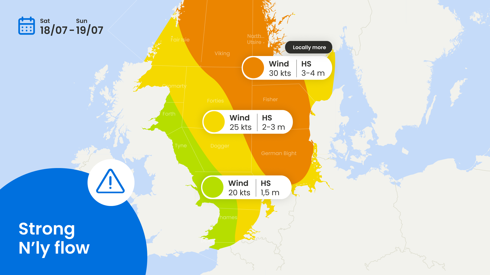
Figure 1: Severe Weather Chart for Saturday and Sunday over the North Sea.
Baltic Sea
A weak pressure gradient supports relatively calm conditions during the first part of the period. Coastal operations, port logistics and marine construction can benefit from reasonable workability.
During the weekend, a low-pressure system crosses the basin. Winds turn northerly as the system passes, while an associated frontal trough brings periods of rain and temporarily reduced visibility.
Behind the low, north-westerly to northerly winds may briefly reach 25–35 knots, with stronger gusts possible near exposed coastlines and across the southern and central Baltic. Local wave heights may build towards 2–3 meters.
The adverse conditions are expected to be relatively short-lived, but the exact timing and location remain dependent on the low-pressure track. Vessel movements, nearshore construction and port calls should therefore be planned around this temporary reduction in workability.
Conclusion
Wednesday and Thursday provide the best operational windows across both regions. North Sea workability deteriorates from Friday, with the greatest downtime risk during the weekend, while the Baltic Sea faces a shorter adverse period linked to the passing low.
Existing customers should monitor the latest wind, wave and timing updates in their dashboard before confirming weekend operations. Planning offshore or coastal activities without access to tailored marine guidance? Contact Infoplaza to explore how our forecasts can support safer and more efficient operational decisions.