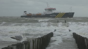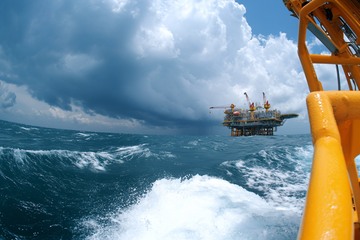
This week’s North Sea weather is determined by alternating
troughs and ridges, causing changeable conditions. Despite its rather unsettled nature, this pattern isn’t too strongly developed and all in all results in a rather workable week offshore.
Weather impact on North Sea workability
- Timing: this week’s main wave peak is expected on Wednesday near - and in the wake of - a trough expected over the S North Sea during the morning before shifting into the Benelux and N Germany. A next peak is expected in the course of the weekend as an Atlantic low makes its way into the northernmost North Sea whilst filling.
- Operational impacts: dependent on your specific operational limits weather-sensitive operations might face interruptions, especially on Wednesday and Saturday. Also, bear in mind that some showers can be accompanied by thunder in the night to Wednesday and Wednesday morning. But overall, several workable windows are expected.
- Regionalization: as mentioned above, a wind and wave peak is expected on Wednesday. In the course of Saturday a next peak mainly focusses on the northern North Sea.
Synoptic situation
North Sea
As discussed, main wind and wave peak exists over the North Sea on Wednesday, especially in the S where winds regionally peak up to 6-7 Bft with Hs between 3.0-3.5m. Later in the day things will calm down as the responsible trough leaves the S North Sea, followed by a mobile ridge on Thursday. Next peak follows on Saturday with highest waves (up to 3.0-3.5m) and fresh to strong south(west)erlies, 5-6Bft, for the N North Sea.
Atlantic
As the meteorological summer has ended recently the number of tropical disturbances and storms usually increases over the tropical regions of the Atlantic Ocean and the Caribbean basin. However, due to the currently ongoing super El Niño in the Pacific Ocean the number of tropical disturbances able of producing Hurricanes is expected to remain below average over the coming months. This doesn’t mean significant storms won’t develop at all. But according to climatology total numbers should remain limited though. We will keep monitoring the situation over the area.
Pacific
A completely different and more active situation unfolds over the NE Pacific with several storms and Typhoons active this week, possibly linked to the warmer than average waters due to El Niño. Over the NW Pacific a temporal calmer period is expected though with tropical depression Krovanh dissipating whilst tracking across Japan this week. Renewed tropical activity is expected next week.
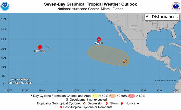 Active weather over the tropical areas of the Pacific Ocean. Source: NOAA Hurricane Center.
Existing customers can monitor the latest operational windows and regional developments in the Infoplaza dashboard. Planning a marine operation without access to our forecasts? Contact Infoplaza to explore how tailored weather intelligence can support safer and more efficient decision-making.