Sustained wind speeds, wind gusts, significant wave height and peak period. Those terms are just a small selection of parameters used by a meteorologist in a weather forecast. It's of great importance for your crew's safety to know those terms well. To better understand the forecast provided by our expert meteorologists, we will discuss a variety of terms used in a weather forecast.
The parameters we will discuss in this blog will be divided in two sections: weather related parameters and wave related parameters. Although we describe them separately, it's good to know that all parameters go hand in hand. For instance: when the sustained winds are strong, waves will be high as a result. Those links are common between many parameters.
Weather related parameters
Sustained wind speed and wind gusts might be the most used weather parameters in the offshore industry. The sustained wind speed is the average wind speed at a certain level for a certain period. These averages are measured over a long period of time, like 10-minute or 1-hour. So wind peaks and wind drops will be filtered out from this parameter.
For certain offshore operations it is valuable to understand the behavior of so called wind gusts, since they can be a limiting factor during these operations. A wind gust is the wind speed averaged over a much shorter period - 3 or 10 seconds is very common. The shorter the averaged time frame is, the higher the wind gusts are. All the parameters related to wind in our weather forecast are indicated by the red box in figure 1.

Visibility
Another relevant weather parameter is visibility. Reduced visibility can be can be caused by a lot of different weather events. The most well-known event is fog. Occasionally, severe snow or rain might reduce the visibility to very low values as well. As the term already suggests, the visibility is basically a number that shows how far you are able to see. This is the most hands-on definition of visibility. However, how far one can see also depends on light conditions, the height of the observer above sea/ground level and which object one is looking at.
Therefore, the most exact definition of visibility is the following one: the visibility is from how far an observer can see a black object of sufficient size with a light sky as a background. You may already notice that this is still a subjective way of measuring visibility. Meteorological instruments can do this in an exact manner.
In Infoplaza forecasts the visibility is valid for a height of 2 meters above sea/ground level. On many days visibility will be better at a higher level, but during certain atmospheric conditions the opposite can be true. For instance: when low clouds are covering the platform in ‘fog’, the visibility at sea level can still be more than 10 kilometers.
Lightning risk
Lightning plays an important role in safe operation planning. The lightning risk will be assessed by our expert meteorologists. They evaluate instability parameters from numerical weather models and translate them to a low/medium or high lightning risk.
The lightning risk in our weather forecast is indicated by the yellow box in the upper left corner in figure 1. The yellow box on the right side of the forecast indicates the significant weather and the visibility.
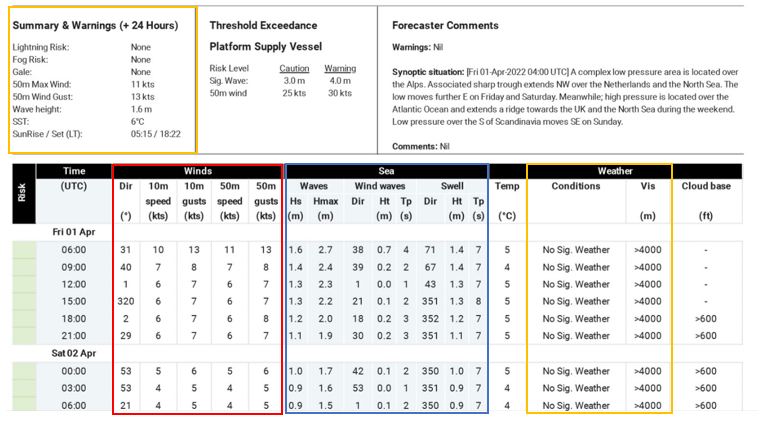
Figure 1: An example of a weather forecast provided by Infoplaza. The red box indicates the wind parameters, the blue box the wave parameters and the yellow box the significant weather parameters.
Wave related parameters
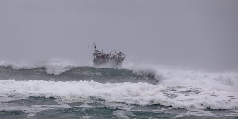
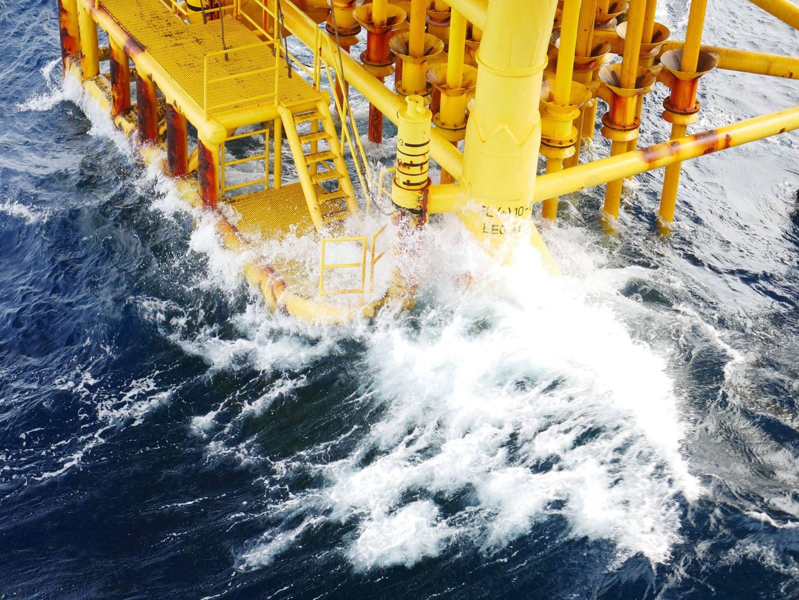
Often the presence or absence of waves determine whether a project can be safely executed or not. There are a lot of different wave parameters to consider when making the decision to proceed or not. The most common ones will be explained in this section.
The wave height of course is of great importance during offshore operations. When the waves exceed operational limits, the project cannot be safely executed. A common way to parameterize wave height is by the value Hs (significant wave height). The significant wave height is the average of one third of the highest waves measured or modelled at a certain location. This sounds as, and is, a very simplified definition. The reason everyone agreed to use the definition is that the resulting number comes very close to what a trained human observer would estimate as the significant wave height. The maximum wave height (Hmax) is parameterized the best by multiplying the Hs with roughly 1.8.
Furthermore, the wave period can determine if an operation can be safely executed as well. It depends on the vessel type if the wave period can be problematic. For instance, when the wave period is close to the length of the vessel, the wave period can be a limiting factor. The different wave periods, such as peak period (period which contains the most amount of energy in a certain wave system) are depicted in our weather forecast. All wave parameters are depicted with the blue box in figure 1.

 Adobe Stock
Execute offshore operations with expert guidance
All our tools are made to guide you to a decision point: can this offshore operation be executed within a certain time frame - or not? It is of great importance to understand the basics of weather and wave parameters to make a reliable decision. Our expert weather forecasters are always there to help you out and give advice.
Next to that, we host special webinars in which we guide you through the weather forecast and teach you about the basics of the weather and the sea to make sure that you, as a client, can read and understand this weather forecast well. We are always aiming to give you the most precise and accurate information to increase your workability.