AI-assisted | Reviewed by R. Klaassen, Senior Meteorologist
The first major forecast for the 2026 Atlantic hurricane season is in and for those living along the Gulf Coast or planning a Caribbean vacation, it brings some welcome news. Colorado State University's Tropical Meteorology Project released its initial outlook on April 8, predicting a below-average hurricane season.
What CSU Is Forecasting ?
CSU's team expects 13 named storms this season, of which 6 will become hurricanes and 2 will reach Category 3 intensity or higher (winds of 111 mph or more). For context, the 30-year average sits at 14 named storms and 7 hurricanes, so this year's outlook is slightly quieter than normal.
The team also projects an Accumulated Cyclone Energy (ACE) index of 90, a measure of overall storm activity. That's notably lower than recent hyperactive seasons and reflects the influence of two key factors pulling activity downward.
Why a Quieter Season? El Niño Takes Center Stage
The dominant factor shaping this forecast is El Niño, a periodic warming of the Pacific Ocean that has far-reaching effects on global weather patterns. For the Atlantic, El Niño typically means stronger upper-level winds that tear apart developing storms before they can organize into hurricanes.
NOAA currently puts the odds of El Niño becoming "strong" (sea surface temperatures at least 1.5°C above average) at around 50% by the peak of hurricane season. Historically, strong El Niño years have reduced Atlantic hurricane activity by 32%, while "super" El Niño seasons have cut activity by as much as 58%.
Adding to that, large portions of the eastern Atlantic and the so-called Main Development Region, the stretch of warm water between Africa and the Caribbean where many storms are born, are currently showing near- to below-average sea surface temperatures. That's another headwind for storm development.
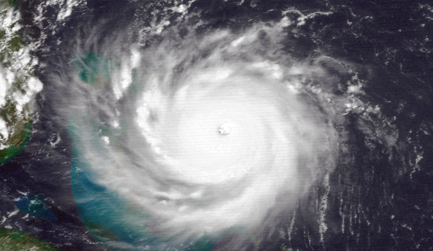
Hurricane Andrew, August 23, 1992. Source: NOAA
Not All Good News
A quieter hurricane season comes with an unexpected downside: less tropical rainfall in the deep tropics. That means more Saharan dust crossing the Atlantic, potentially worsening air quality and allergy conditions across the Caribbean and Gulf states through the summer months. Drought conditions in parts of the tropics are also more likely.
And as always: a below-average forecast is not a guarantee of safety. Some of the most destructive hurricanes in history including Andrew (1992) and Hugo (1989), struck during otherwise quiet seasons. It only takes one storm to make landfall.
Who Is CSU, and Why Does It Matter?
When it comes to seasonal hurricane forecasting, Colorado State University is the gold standard. The program was founded in 1984 by Dr. William Gray, who pioneered the entire concept of predicting seasonal hurricane activity months in advance, a revolutionary idea at the time. Today, the team is led by Dr. Philip Klotzbach, widely regarded as the world's foremost expert in seasonal tropical forecasting.
CSU typically releases four forecasts per season, in April, June, July, and August, with each update incorporating fresher data and becoming progressively more accurate as the season approaches. Their methodology combines statistical models with deep physical understanding of climate drivers like El Niño, Atlantic sea surface temperatures, and wind patterns.
Their forecasts are consistently the first to be cited by global media and serve as a benchmark against which all other outlooks are measured.
 ENSO forecast by several Institutes. Source: Copernicus
When Are Other Forecasts Coming?
CSU is just the first to weigh in. Several other respected organizations will publish their own outlooks in the coming weeks and months:
| Organization | Expected Release |
|---|---|
| NOAA (National Oceanic and Atmospheric Administration) | Late May |
| Tropical Storm Risk (TSR), University College London | Late May / Early June |
| North Carolina State University | May |
| Weather Company / IBM | May |
| CSU updated forecast | Early June & August |
A Word of Caution: The Spring Predictability Barrier
Early-season forecasts like this one come with a significant caveat: uncertainty is inherently higher at this time of year. This is due to the "spring predictability barrier" a well-known limitation in which tropical Pacific conditions during March through May are naturally less predictable than at other times of year. The current El Niño outlook, while promising, could still evolve considerably.
Confidence typically increases from late May onwards, once ocean-atmosphere coupling strengthens and clearer physical signals emerge, such as weakening trade winds and warming of the central Pacific. The June update will be a much stronger basis for judgment.
Bottom Line
The 2026 Atlantic hurricane season is shaping up to be a relatively quiet one, driven largely by a strengthening El Niño and cooler-than-normal Atlantic waters. But "quieter" never means "safe" and with hurricane season officially starting June 1, now is the time to review your preparedness plans regardless of the forecast.
Stay tuned for updated outlooks from NOAA and others in May. Tropical storms in the Atlantic and other basins can be followed in real time via I'm Weather.
Sources: Colorado State University Tropical Meteorology Project, Weather.com, NOAA, ECMWF