
The foundation of nearly all our maritime forecasts relies on wave models. In the Infoplaza weather department, we have access to a variety of these models, each possessing its unique characteristics. Depending on the forecast site's location, we can efficiently employ these models. To arrive at the most accurate forecast, we employ five key components:
1. In-house offshore wave model
These wave models are typically embedded within atmospheric models, which provide critical data such as wind parameters, boundary layers, and stability indices. We utilize this data within the wave model to generate long-wave swells, wind waves with shorter wavelengths, and ensure the correct functioning of processes like dissipation.2. In-house nearshore wave model

The geographical location of the forecast site is crucial for the accuracy of model outputs. For instance, in a remote offshore work site like the middle of the North Sea, different wave systems operate freely. Their wave energy propagates without being influenced by shallows or coastlines. However, in regions with shallow coastal waters or close proximity to small islands, physical processes like diffraction, refraction, and shoaling alter the wave field.
The North Sea, for instance, is known for its sandbanks located relatively far from the shore, which can lead to unexpected hazardous conditions. In such challenging areas, we employ our high-resolution, in-house models capable of accurately representing complex bathymetry and coastlines, down to the finest detail.
How we do wave modeling to create the best marine forecast nearshore
3. Historical data/Metocean data
Another critical role of meteorologists is to anticipate meteorological conditions' impact on wave heights. Over the years, we've compiled a database of similar meteorological scenarios and their known effects on wave height. This increases the forecast's reliability.
4. Observations (from ships, satellites, buoys)
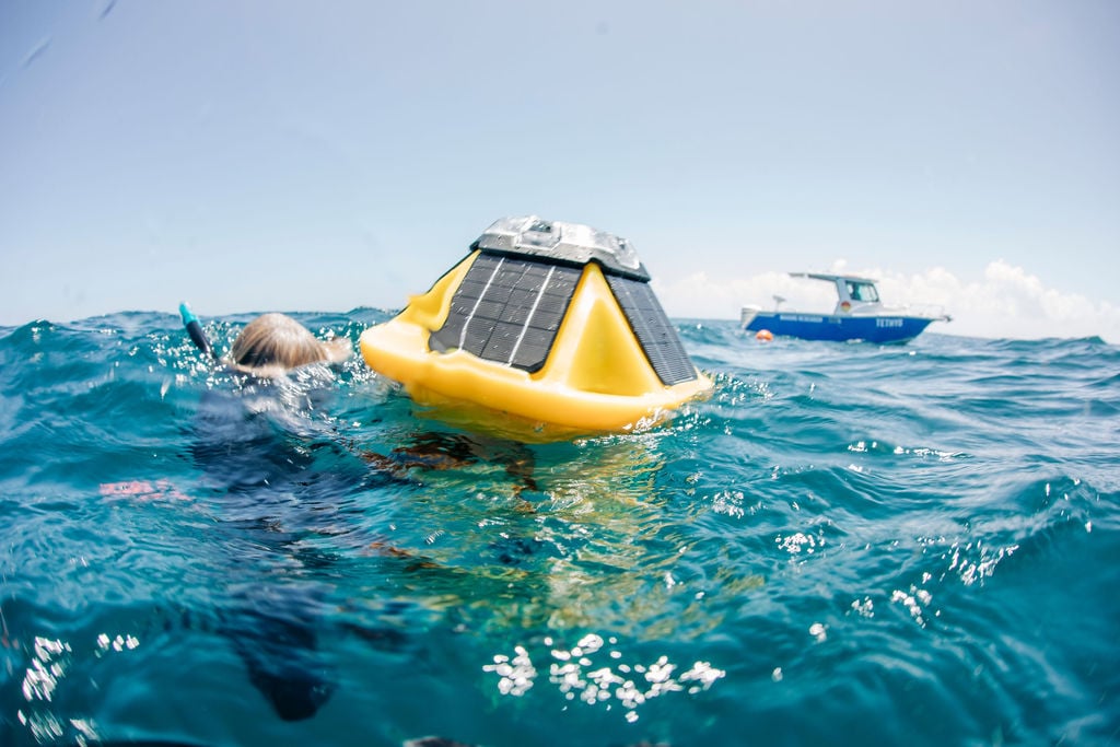
Our extensive experience in dealing with demanding nearshore locations, along with collaboration with international dredging companies, has established us as a reliable provider of nearshore wave forecasts. Our meteorologists continuously compare the wave model's outputs with observational data collected in the vicinity of the forecast area. This data comes from sources like passing ships, satellite imagery, and wave-riding buoys. We use this data to fine-tune the model to suit the specific requirements of that location or area. This ongoing verification process contributes to the most precise wave forecasts that eventually reach your desk. It is also used for calibrating the offshore wave model.

5. Expertise from the meteorologist
The process of optimizing our wave forecasts culminates with the insights of our forecasters, who maintain close communication with our clients. The forecaster's expertise plays a pivotal role in achieving the most refined wave forecast. In this manner, you receive an optimized wave forecast that is tailored to your specific needs.
With Infoplaza's Marine Weather Dashboard, you'll have easy access to our expertise.