The oil and gas reserves in the Caspian Sea are significant, and its location between 5 countries makes it an hotbed for offshore transport as well. Needless to say: this has an enormous economic impact in the entire region. But the diverse and unique weather conditions here can highly affect offshore operations. Let’s dive into this subject.
Infoplaza, with its office based in Atyrau, Kazakhstan, conducts marine weather monitoring for big customers in this region. Therefore we have quite an interesting perspective on how the weather impacts business in the Caspian area.
In this article we will briefly look at the economic highlights of the region, how the location itself affects offshore operations, and how companies in the Caspian area can benefit from marine weather monitoring.
Economic highlights western Kazakhstan and Caspian Sea
Throughout Kazakhstan raw materials are mined - like uranium, copper, chromium and gold. In and around the Caspian Sea and western Kazakhstan it’s all about oil and gas though. The Kashagan field of the North Caspian Operating Company (NCOC) for instance is one of the biggest single discoveries since the 1970s, with the field measuring about 75km by 35km in size (approx. 2,700km2). It has over 30 billion barrels of oil in it. Close by is the Tengiz oil field, about 19km by 21km, smaller in size but nevertheless a huge discovery. It has about 9 billion barrels of recoverable oil. There are many other smaller oil fields in the region.
.jpeg?width=3400&height=1700&name=Oil%20platform%20(3).jpeg)
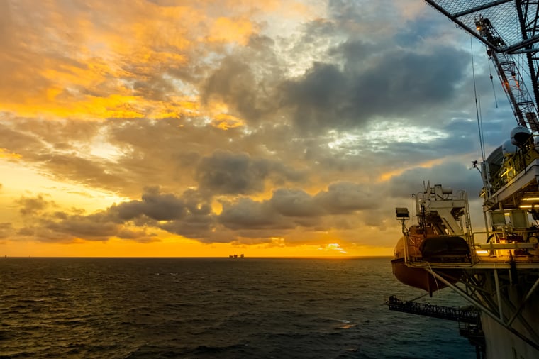
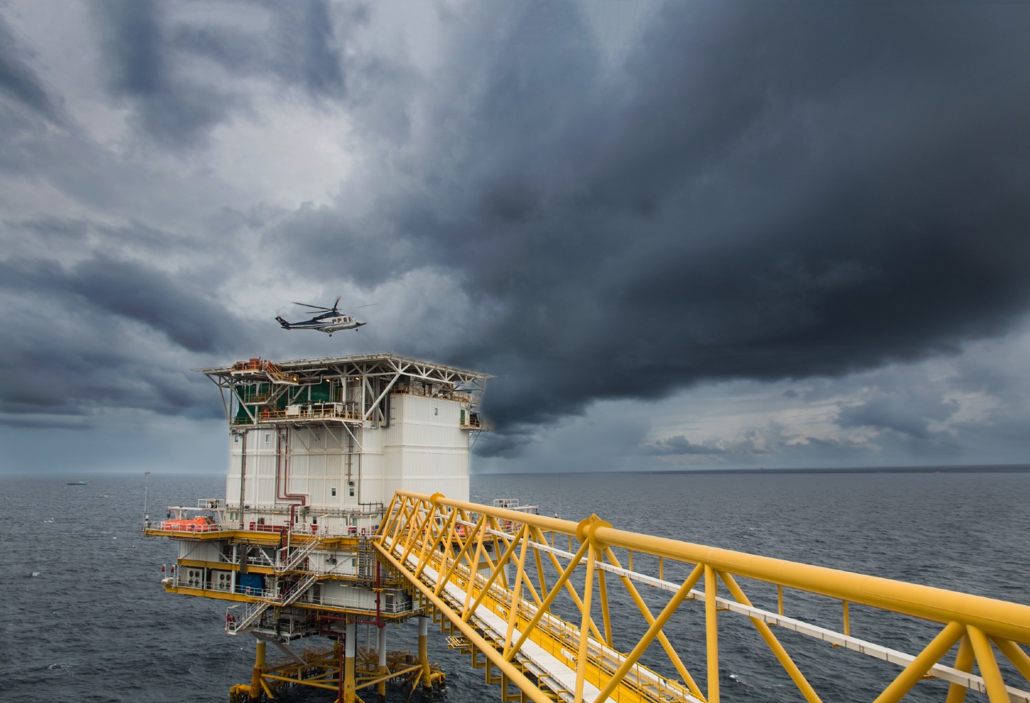
How offshore operations are affected
Metocean conditions in the Caspian Sea affect offshore operations in similar ways to other areas around the world. For instance, how to work safely in extreme heat and cold, coping with dust storms, icing on vessels and helicopters. However, there is one additional difficulty experienced due to the unique maritime conditions which is proving to be an immense challenge:Low water levels
Due to climate change, among other things, water levels are getting lower every year. It is expected that by 2100, the Caspian Sea’s level could drop 9 to 18 meters. This would leave the whole NE Caspian area high and dry!
Currently, vessels are still operating in the NE Caspian and will continue to do so for many years. However, the lower water levels result in reduced water depth, which is critical in the shallow waters of the NE Caspian, where large vessels are already operating in water depths below 3 meters. This is made even more difficult by the winter ice sheet. As we mentioned in our previous article, the different types of ice have impact on operations in the Caspian Sea. Vessels are even more affected by this due to literally an underlying cause: the extremely shallow water depths over the eastern part of the North Eastern Caspian, as well as over the Saddle area. Let us explain:
Ice breaking vessels are already working very close to the seabed, but with the onset of ice, the vessels break the ice and ride over it which decreases the available water depth even further. So vessels essentially run aground on the broken ice under their keels.
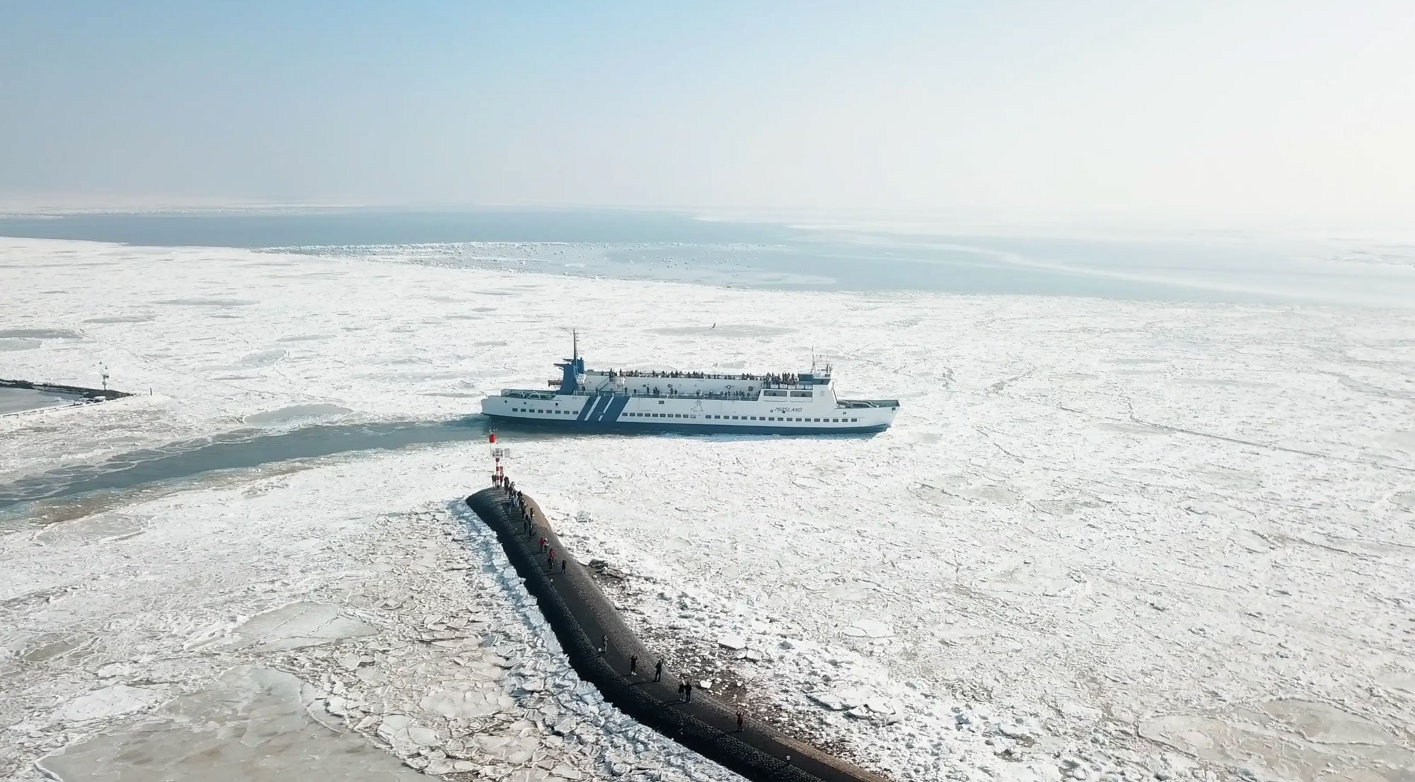
Winter is also the period when the mean water level is at its lowest, after the evaporation of the water during the summer months. This is also the time when river flows are at their lowest as the catchment areas are all frozen. This accentuates the problem for vessels operating in this area.
Also read: How we monitor ice development in the Caspian Sea
What kind of companies can benefit from marine weather monitoring
Having discussed the issues for offshore operations, what kind of businesses exactly can benefit from marine weather monitoring then? In the case of Infoplaza, it’s often the whole logistics supply chain. This includes marine vessels, helicopters (helideck environmental monitoring) and land transport.
Those operations require daily information to be able to operate and plan future operations. This means weather and water level forecasting is hugely important to companies in this supply chain.
We additionally look after metocean stations which monitor weather and ocean parameters (with water level being the most important here) and transmit data in real time to be stored and displayed on an application which all the clients’ personnel have access to.
Providing data
As we’ve highlighted in our previous article on how we monitor the conditions in the Caspian, we also complete some field services deploying moored instrumentation for monitoring environmental parameters. These do not report data for day to day operations, but provide data which can be processed to help with future projects - providing baseline data or data that can be used to update existing baseline data and designs. The clients here are therefore project teams which themselves will be multi-disciplinary.Usually HSSE (Health, safety, security and environment) departments are big users of our data. We provide real time data on temperature and humidity, both key requirements to be able to monitor and work safely in both extreme heat as well as extreme cold.
Other clients include drilling (data for plume dispersal), vehicles (road icing monitoring), cranes (wind speed limits for lifting loads). You could also say that forecasting and real-time data are used by just about everyone within offshore companies. And for a good reason: because without, negative financial impact on their business would be inevitable.
Metocean solutions
With a long history of producing high-quality metocean data sets, we can help you to confidently make decisions that reduce the risks that impact your bottom line.